Your One-Stop For Drone SolutionsProductsYour One-Stop For Drone SolutionsProductsYour One-Stop For Drone SolutionsProductsYour One-Stop For Drone SolutionsProducts
Your one-stop drone innovator for affordable drone solutions and GIS services worldwide. We design drones for many applications and excel in optimizing accurate data.
Accurate and high-resolution aerial mapping for your projects
Digital Twin
Data intense virtual realms and modeling of physical assets
Geotagging
Capture & illuminate spatial data with laser-sharp precision
Simulations
Proficiency in drone technology through immersive simulations
"Affordable drone solutions for everyone, everywhere and every time"
Total Projects
0+
Acres Surveyed
0K+
FEATURED TECHNOLOGY
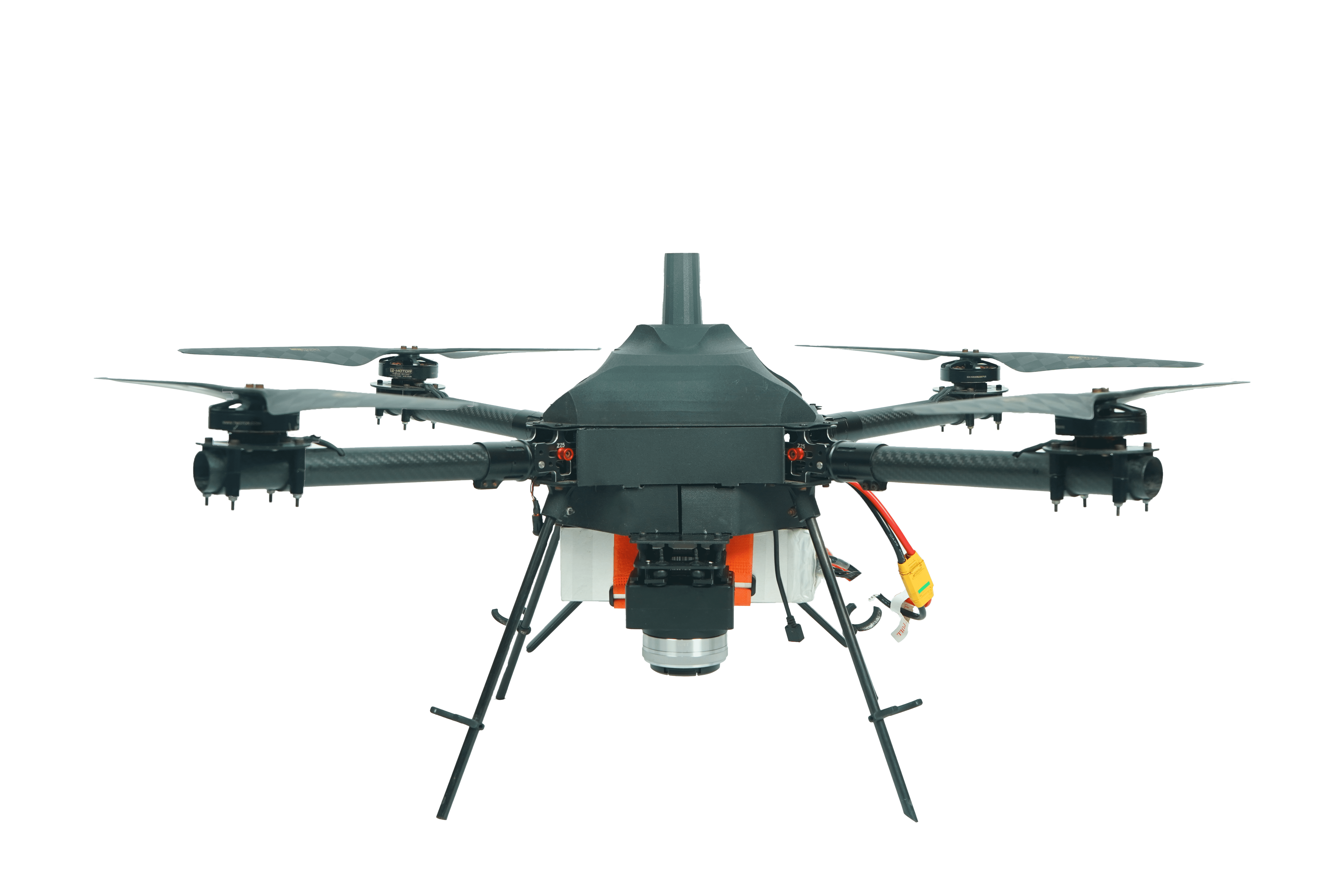
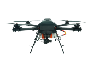
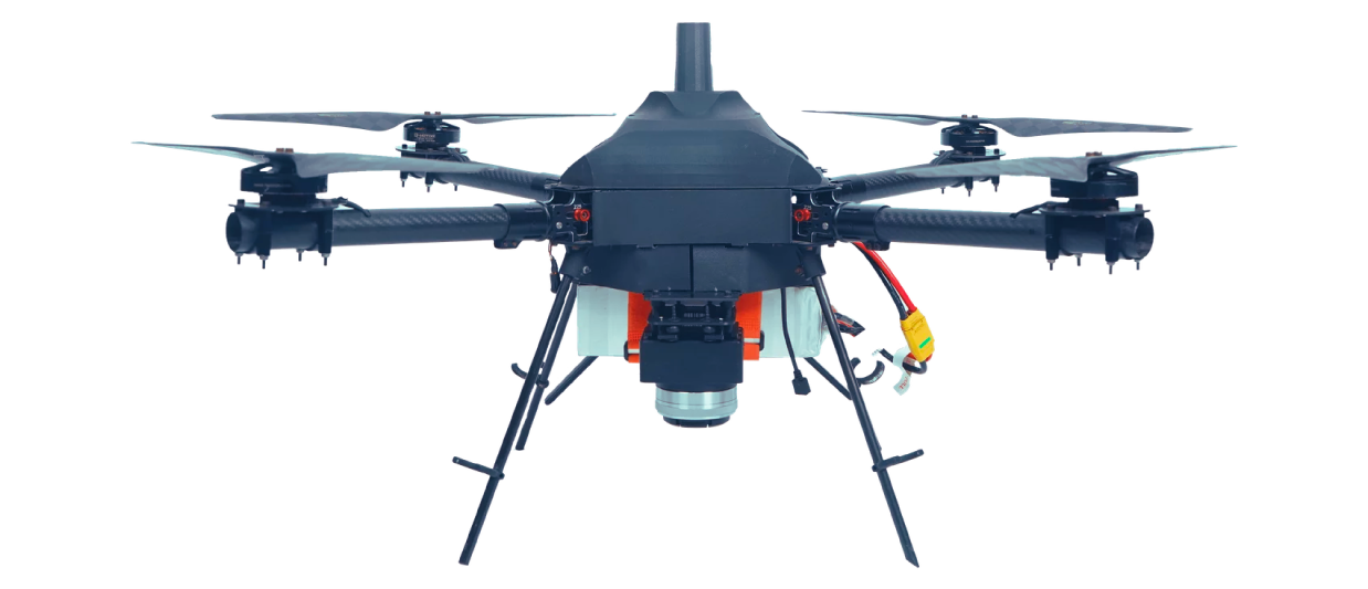
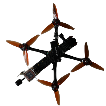
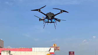
Our Featured Drones
Our commitment revolves around providing outstanding outputs to our clients. From innovative solutions to quality services, we strive to exceed expectations and ensure satisfaction.
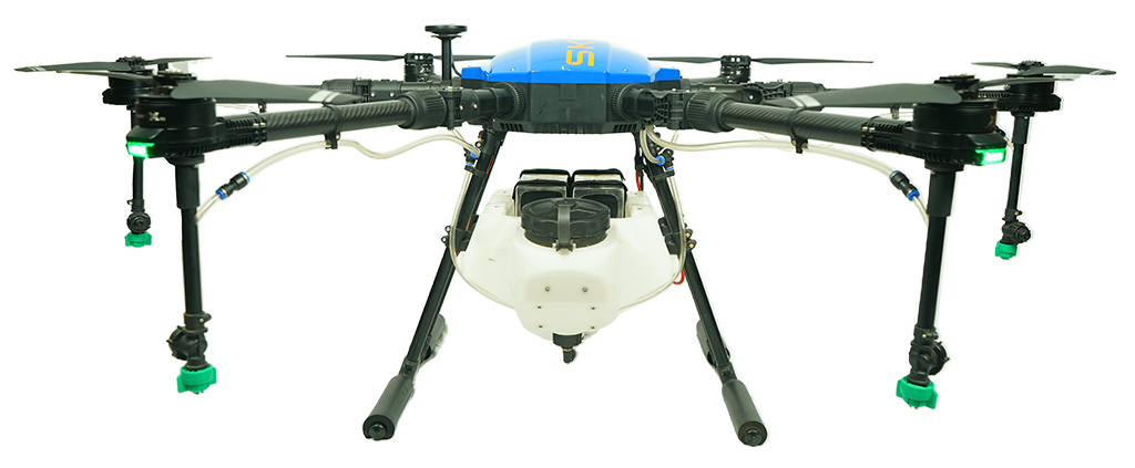
Heavy Lifts
High-Quality heavy lift drones to maintain your crops
Anticipating long-distance surveillance and exploration
GPS Rescue
Return to Home fail safe
Our Unique Advantage
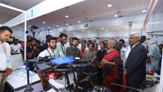
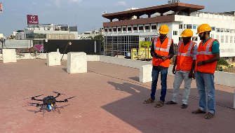
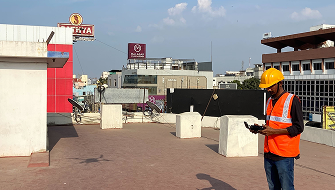
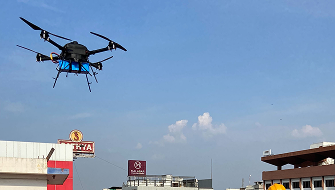
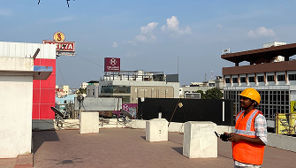
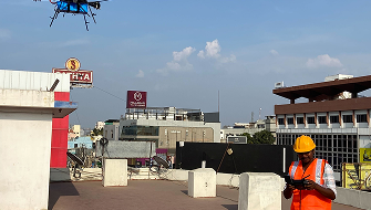
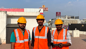
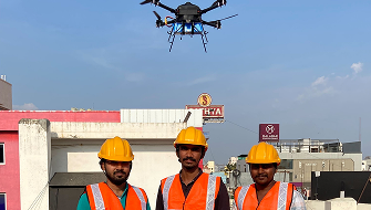
Drones in Action with Expert Guidance
Advanced Agro Drones
India's first Agri Drone at 8,800 ft AMSL
Zoom Capability
Zoom Capability exceeding 30X
Flight Duration
Quadcopter endurance over 60 mins
Dual Use Solutions
Dual-use case Tethered Solution
Multiple Variant Drones
Solutions across diverse industries
Low Error Rates
SKYX : <5cm max X,Y,Z error, twice as precise
Our Projects
Interesting Case Studies
Discover how our innovative solutions have transformed challenges into success stories across various industries. Each project tells a unique story, capturing our commitment to excellence.
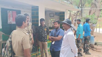
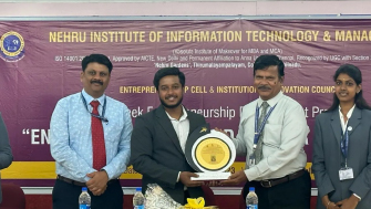
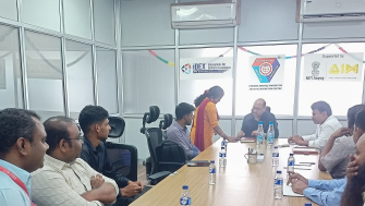
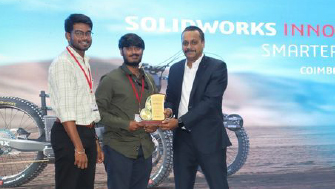
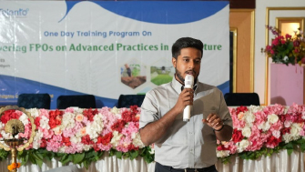
Experience a captivating visual journey through our exciting events, where innovation, collaboration, and the dynamic spirit that defines SKYX are on full display.