


Construction &
Real Estate

Forestry &
Agriculture

Architectural
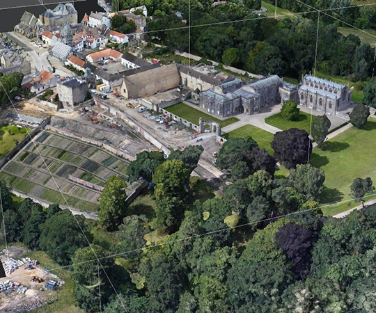
Survey

Mining Survey &
Mapping

Urban &
Town Planning

Survey & Mapping

Orthomosaic Maps

Contour Maps3

3D Textured Model

3D Sparse &
Dense cloud

Digital Elevation Model (DEM, DSM & DTM)

Volumetric Analysis

2D and 3D KML Files
Construction &
Real Estate

Manufacturing and Industrial Operations

Finance and
Investment

Government and Regulatory Bodies

Solar Panel Inspection

Wind Turbine Inspection

Soil Temperature Inspection

Telecommunication

Emergency Services

Utilities and Energy
Finance and Banking

Telecom Inspection

Tower Inspection
Orthomosaic
An intuitive representation of your fields that helps you scout and identify issues faster. Specify the desired Ground Sample
Distance (GSD) for a more or a less detailed output.
Fields of application: Digital scouting, crop protection, insurance
Export formats: GeoTIFF

Vegetation Index Map
Use a predefined list of vegetation indices like NDVI or use custom index formulas to better understand your crops.
Fields of application: Crop protection, crop production, breeding
Export formats: GeoTIFF

Zonation Map
Create custom zones with Information from vegetation index maps.
Fields of application: Crop production

Prescription Maps
Assign application rates to use in variable rate application maps for а more targeted use of Inputs.
Fields of application: Crop production
Export formats: Shapefile, KML, GeoJSON

Field Boundaries
Import or draw your field boundaries to focus the analysis only on areas of your Interest.
Fields of application: Digital scouting, crop production, crop protection, Insurance
Export formats: Shapefile, KML, GeoJSON
Digital Surface Model
Get more detail about your Irrigation variability and pinpoint erosion-prone areas with an elevation model of your field.
Fields of application: Irrigation and erosion control
Export formats: GeoTIFF