
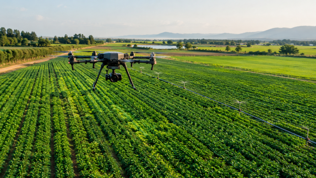
Introduction: Seeing the World from a Different Perspective
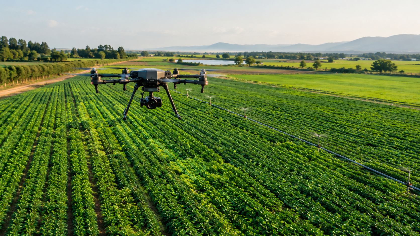
Imagine planning a new highway through uneven terrain, monitoring hundreds of acres of agricultural land, inspecting a construction site, or assessing flood damage across a village. Before making critical decisions, planners need to understand the land in detail—its elevation, boundaries, structures, vegetation, drainage patterns, and physical changes.
Traditionally, collecting this information involved ground surveys, satellite imagery, aerial photography, and extensive fieldwork. While these methods remain valuable, they can present challenges when projects require highly detailed, frequently updated information about a specific location.
This is where drones are transforming modern Geographic Information System (GIS) mapping.
Equipped with advanced cameras, positioning systems, and specialised sensors, drones can capture detailed information about the Earth’s surface from the air. When this information is processed and integrated into GIS software, it becomes much more than a collection of aerial photographs. It becomes a powerful source of geographical intelligence that helps professionals measure, analyse, monitor, and make informed decisions about the world around them.
The real value of drone technology lies not simply in flying over an area, but in converting what the drone observes into information that people can use.
- Understanding GIS Mapping and the Role of Drones
A Geographic Information System, commonly known as GIS, is a framework for collecting, managing, analysing, and visualising data associated with geographic locations.
A GIS map can show far more than roads, rivers, buildings, and land boundaries. It can combine geographical information with other datasets, such as population density, soil characteristics, traffic patterns, infrastructure conditions, and environmental changes.
For example, a city planner can use GIS to identify flood-prone neighbourhoods by combining elevation data, drainage networks, rainfall information, and building locations.
According to India’s National Remote Sensing Centre and the North Eastern Space Applications Centre, UAV-based mapping supports applications ranging from topographic surveys and urban modelling to infrastructure planning, vegetation mapping, and disaster assessment.
In simple terms, GIS helps us understand where things are and how they relate to one another, while drones help us collect detailed information about what is happening on the ground.
Together, they create a more detailed and actionable understanding of physical environments.
- How Drone-Based GIS Mapping Works
Drone mapping involves several connected stages. Each stage contributes to the accuracy, usefulness, and reliability of the final geographical dataset.
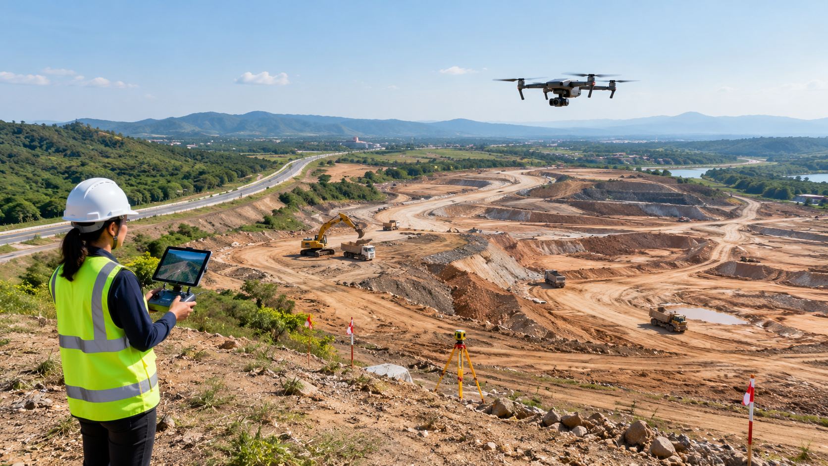
Step 1: Defining the Survey Area
Every mapping project begins with a clear objective.
A construction company may want to calculate the volume of excavated soil. An agricultural organisation may need to identify crop stress. A municipality may want to map roads, buildings, and drainage infrastructure.
The objective determines the area to be surveyed, the type of drone required, the sensor selection, the flight pattern, and the expected mapping outputs.
Before the drone takes off, operators plan the flight path, altitude, image overlap, ground coverage, and data collection requirements. They must also consider weather, terrain, airspace restrictions, and applicable aviation regulations.
Step 2: Capturing Geospatial Data
The drone follows a planned flight path while collecting images or measurements using its onboard sensors.
For conventional photogrammetry, the drone captures multiple overlapping photographs of the same area from different positions. The overlap allows processing software to identify common features across images and reconstruct their spatial relationships.
Depending on the project, the drone may also carry LiDAR, multispectral, thermal, or other specialised sensors.
The objective is to collect data that accurately represents the features being studied.
Step 3: Processing Images into Mapping Products
Raw aerial images are not automatically accurate maps.
Photogrammetry software analyses overlapping images, identifies matching features, estimates camera positions, and reconstructs the surveyed area.
This process can generate several valuable outputs:
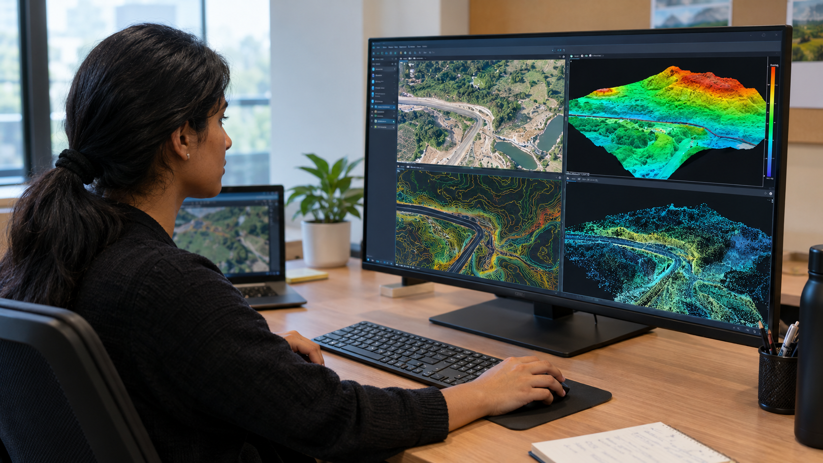
- Orthomosaic maps: A collection of aerial images combined into a geometrically corrected, geographically referenced image.
- Point clouds: Large collections of three-dimensional points representing surfaces and objects.
- Digital Surface Models (DSM): Models representing the elevation of visible surfaces, including buildings, trees, and the ground.
- Digital Terrain Models (DTM): Models representing the underlying terrain, with above-ground objects excluded as far as the processing method allows.
- 3D models: Three-dimensional representations of buildings, structures, terrain, and other features.
- Contour maps: Lines connecting locations of equal elevation, useful for understanding slopes and terrain variation.
These products form the foundation for further GIS analysis.
Step 4: Integrating the Data into GIS Software
Once processed, the mapping outputs can be imported into GIS platforms such as ArcGIS or QGIS, provided they are supplied in compatible formats and coordinate reference systems.
The drone-derived data can then be combined with existing maps, satellite imagery, cadastral information, utility networks, land-use datasets, and other geographical information.
This integration turns aerial observations into meaningful spatial analysis.
Step 5: Analysing Changes and Supporting Decisions
The final stage involves interpreting the data to answer practical questions.
How much earth has been moved? Where is water likely to accumulate? Which section of a road has changed? Is a building encroaching on a planned boundary? Which agricultural plots require further inspection?
When surveys are repeated over time using consistent methods, GIS professionals can compare datasets and identify changes.
The outcome is a more informed approach to planning, monitoring, and managing physical assets.
- Key Technologies Behind Drone-Based GIS Mapping
The effectiveness of drone mapping depends on the combination of aerial platforms, sensors, positioning technologies, processing methods, and GIS tools.
Photogrammetry: Creating Maps from Images
Photogrammetry is one of the most widely used methods in drone mapping.
It uses overlapping photographs taken from different viewpoints to estimate the position, shape, and dimensions of objects.
Modern photogrammetry workflows commonly use Structure-from-Motion techniques to estimate camera positions and reconstruct three-dimensional geometry.
Its applications include land surveys, construction progress monitoring, agricultural mapping, stockpile measurement, and 3D modelling.
ng, image overlap, camera calibration, and the quality of positioning and ground control.
LiDAR: Measuring the World with Laser Pulses
LiDAR stands for Light Detection and Ranging. It measures distances using laser pulses and combines these measurements with positioning and orientation information to produce three-dimensional point clouds.
Unlike conventional image-based photogrammetry, LiDAR can be particularly useful for capturing complex vegetation and terrain in situations where laser returns reach the ground through gaps in the canopy.
This makes it valuable for forestry, terrain modelling, infrastructure surveys, and certain environmental applications.
However, LiDAR does not automatically produce a perfect ground model. The ability to identify the ground depends on vegetation density, sensor characteristics, point density, and processing methods.
GNSS and RTK: Improving Positional Accuracy
Global Navigation Satellite Systems (GNSS) help determine a drone’s geographic position.
Real-Time Kinematic (RTK) positioning uses satellite observations and correction data to improve positioning accuracy. Post-Processed Kinematic (PPK) methods apply corrections after data collection.
Ground Control Points (GCPs)—clearly identifiable points whose coordinates are measured using suitable surveying equipment—can also help georeference and validate mapping products.
Importantly, precise drone positioning does not guarantee that every point in the resulting map is equally accurate. Accuracy must be assessed using appropriate independent checkpoints and project-specific quality requirements.
Multispectral and Thermal Sensors: Mapping Beyond Visible Images
Some mapping tasks require information that ordinary photographs cannot provide.
Multispectral sensors capture information in selected wavelength bands, including bands beyond visible light. These data can support vegetation analysis, crop-health assessment, and environmental monitoring.
Thermal sensors measure infrared radiation and provide temperature-related imagery. Depending on the application, they can support inspections of solar installations, heat-loss investigations, and certain environmental surveys.
These sensors extend drone-based GIS beyond mapping the visible shape of the landscape to examining selected physical characteristics of its surfaces.
- Major Applications of Drones in Modern GIS Mapping
The impact of drone-based GIS mapping becomes clearer when we examine how different industries use it to solve practical problems.
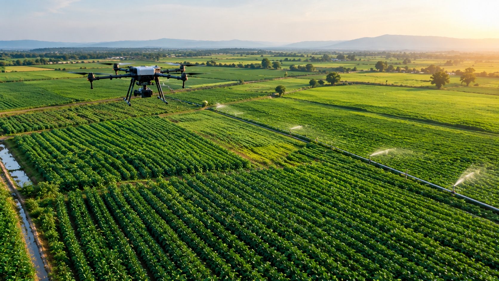
- Agriculture and Precision Farming
Agriculture depends on understanding variations in soil, water availability, vegetation, and crop development.
Traditional field inspections can provide valuable information, but inspecting large agricultural areas in detail can require considerable time and effort.
Drone-based GIS mapping allows agricultural professionals to observe crop patterns across entire fields and identify areas that may require closer investigation.
Using suitable multispectral imagery, vegetation indices such as the Normalized Difference Vegetation Index (NDVI) can help assess differences in vegetation greenness and vigour.
GIS professionals can combine these observations with irrigation networks, field boundaries, soil information, and farm-management records to identify patterns that deserve further investigation.
For example, if a section of a field shows consistently lower vegetation-index values than surrounding areas, the farmer can investigate possible causes such as water stress, nutrient deficiencies, disease, or soil variation.
The drone does not independently diagnose the problem. Instead, it helps identify where field inspections and targeted interventions may be most useful.
The value: Better visibility into field variability, more targeted monitoring, and potentially more efficient use of agricultural resources.
- Urban Planning and Smart Cities
As cities expand, planners need current information about buildings, roads, open spaces, drainage systems, and land-use changes.
Drone-based GIS mapping can provide detailed imagery and three-dimensional models of selected urban areas.
Planners can use these datasets to examine construction activity, map visible infrastructure, measure building footprints, study terrain, and compare existing conditions with development plans.
When combined with demographic data, transport networks, utility records, and other GIS layers, drone-derived information can support decisions about road expansion, public infrastructure, drainage improvements, and land development.
For example, an urban development authority could survey a proposed residential area, generate a terrain model, and assess how the land slopes towards existing drainage channels before finalising infrastructure designs.
Drones can also support periodic monitoring of rapidly developing areas, although formal property boundaries and legal cadastral surveys may still require authorised surveying procedures.
The value: More detailed local mapping, improved development monitoring, and better-informed urban planning.
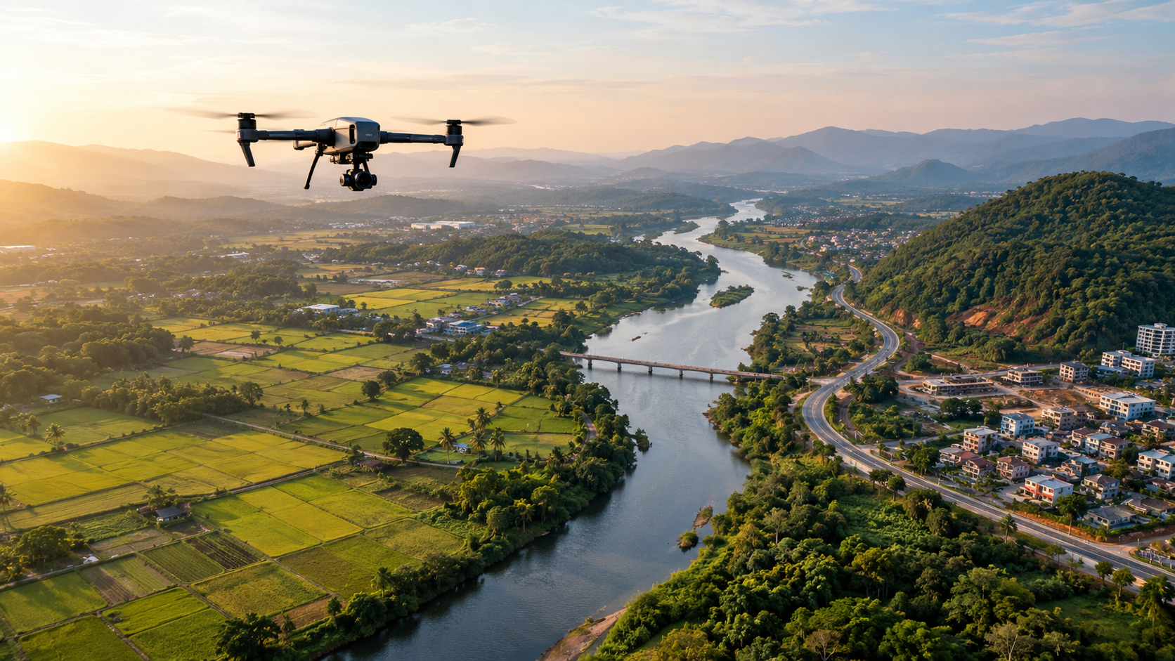
- Construction and Infrastructure Development
Construction projects involve continuous changes to the physical environment.
Earth is excavated, materials are moved, structures take shape, and completed work must be compared with approved designs.
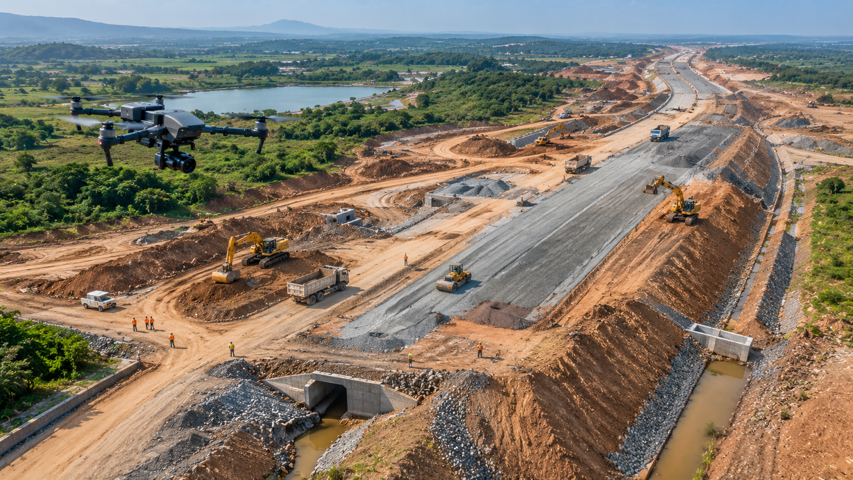
Drone mapping allows project teams to capture repeatable aerial records of construction sites and convert them into measurable spatial datasets.
These datasets can help teams:
- Compare actual site conditions with design drawings.
- Monitor construction progress over time.
- Estimate stockpile and earthwork volumes.
- Identify visible discrepancies between planned and completed work.
- Document site conditions for reporting and project coordination.
- Create three-dimensional representations of the worksite.
Consider a highway project extending across several kilometres. Ground teams may need to visit multiple sections to understand changes in terrain and construction progress. Drone surveys can provide a consistent overview of selected sections and support more targeted ground inspections.
The value: Improved site visibility, measurable progress records, and more efficient project monitoring.
- Land Surveying and Topographic Mapping
Land surveying requires reliable information about the position, elevation, and shape of the terrain.
Drone photogrammetry can produce detailed orthomosaics, elevation models, contours, and three-dimensional point clouds for suitable survey areas.
These outputs support preliminary site assessments, topographic mapping, land-development planning, and volume calculations.
For example, before developing a new industrial facility, a project team can use a drone survey to understand the existing terrain, identify elevation differences, and support the preparation of a grading plan.
The value: Detailed spatial information that supports site assessment, terrain analysis, and planning.
- Environmental Monitoring and Natural Resource Management
Environmental conditions change continuously. Riverbanks erode, forests change, wetlands expand or contract, and human activity alters landscapes.
Drone-based GIS mapping enables repeated observation of selected areas at a level of detail that may not be available from broader-area datasets alone.
Applications include:
- Monitoring changes in vegetation and land cover.
- Mapping erosion along riverbanks and coastlines.
- Examining wetland boundaries and habitat features.
- Supporting forest and biodiversity surveys.
- Identifying visible disturbances associated with mining or land development.
- Measuring changes in selected environmental features over time.
For example, repeated surveys of a riverbank can help identify areas where the shoreline has shifted. GIS analysts can compare the mapped boundaries across different dates to estimate the extent and pattern of erosion.
LiDAR can also support terrain and vegetation-structure analysis, while multispectral imagery can help distinguish selected vegetation characteristics.
The results should be interpreted alongside field observations and other environmental datasets because seasonal changes, shadows, water levels, and sensor limitations can affect the analysis.
The value: More detailed environmental records and better evidence for conservation and resource-management decisions.
- Disaster Management and Emergency Response
During floods, landslides, cyclones, and other disasters, reliable geographical information is essential for understanding damage and prioritising response efforts.
Drones can be deployed, where conditions and regulations permit, to capture aerial imagery of affected areas.
The resulting maps can help response teams identify damaged roads, blocked access routes, affected buildings, debris accumulation, and changes in terrain.
In flood-prone areas, elevation models can support hydrological analysis when combined with rainfall, river-level, drainage, and other relevant information.
For landslides, repeated surveys can help map changes in slope geometry and estimate the movement of visible terrain features.
For example, after severe flooding, a drone survey could help emergency planners identify accessible routes and locations requiring further assessment.
Drone mapping is not a replacement for emergency services or ground verification, and flights must not put responders or affected communities at additional risk.
The value: Faster access to detailed site information and improved situational awareness for response planning.
- Mining, Quarrying, and Stockpile Measurement
Mining and quarrying operations depend on accurate measurements of terrain, excavation areas, and material volumes.
Drone mapping can produce surface models that support the measurement of stockpiles, excavation progress, and changes to mine geometry.
By comparing suitable surveys from different dates, operators can estimate changes in material volumes and document the progression of extraction activities.
For example, a quarry manager can compare a current surface model with an earlier survey to estimate how the stockpile has changed over a defined period.
The reliability of these calculations depends on survey coverage, surface visibility, coordinate consistency, and processing quality.
The value: Repeatable measurements, improved operational records, and better visibility into material movement.
- Utilities and Renewable Energy
Electricity networks, solar farms, pipelines, and other infrastructure require ongoing inspection and maintenance.
Drone-derived imagery and GIS layers can support asset mapping, inspection planning, and the documentation of visible changes.
In solar installations, thermal imagery may help identify panels showing unusual temperature patterns that warrant further inspection. High-resolution images can also document visible damage, vegetation encroachment, or maintenance requirements.
For power lines and related infrastructure, suitable sensors and flight procedures can support the mapping of assets and the identification of visible anomalies.
However, thermal patterns or visual irregularities should be treated as inspection indicators rather than automatic proof of equipment failure.
The value: Better asset visibility, more targeted inspections, and stronger infrastructure-management records.
- How Drone Mapping Compares with Traditional Surveying and Satellite Imagery
Drones do not make every other mapping method obsolete. Each approach has strengths, and effective geospatial projects often combine several sources of information.
| Factor | Drone mapping | Satellite imagery | Ground surveying |
| Spatial detail | Often very high for suitable local surveys | Depends on the satellite sensor and product | High at measured survey points |
| Coverage | Best suited to selected sites and manageable areas | Well suited to regional and large-area coverage | Depends on field resources and survey design |
| Repeat surveys | Flexible, subject to flight conditions and permissions | Depends on satellite revisit schedules and availability | Can be repeated where access is possible |
| Vegetation analysis | RGB, multispectral, thermal, or LiDAR options | Multiple sensor types available | Field measurements provide direct observations |
| Terrain measurement | Possible using photogrammetry or LiDAR | Possible with suitable elevation products and methods | Direct measurement of selected points |
| Main limitation | Flight restrictions, weather, processing, and survey control | Resolution, cloud cover for optical imagery, and revisit constraints | Access, field time, and coverage requirements |
The choice depends on the scale of the project, the required level of detail, the accuracy specification, and the budget.
For regional land-cover analysis, satellite imagery may be the more efficient option. For a detailed construction-site survey, drones may provide a better balance of flexibility and detail. For boundary demarcation or critical engineering measurements, ground surveying may be essential.
The strongest solution is often the one that combines the right technologies rather than relying on a single data source.
- Understanding Accuracy: Why a Detailed Image Is Not Always an Accurate Map
One of the most important considerations in drone-based GIS mapping is positional accuracy.
A high-resolution image may reveal small objects and surface features clearly, but that does not automatically mean the objects have been positioned correctly on the Earth’s coordinate system.
Several factors influence mapping accuracy:
Flight planning: Appropriate altitude, image overlap, camera settings, and flight geometry help determine the quality of reconstruction.
Positioning and control: GNSS, RTK, PPK, and ground control points can improve georeferencing when implemented correctly.
Surface characteristics: Water, reflective materials, moving vegetation, uniform surfaces, and deep shadows can make image matching difficult.
Sensor selection: Different cameras and LiDAR systems have different capabilities and limitations.
Processing quality: Software settings, camera calibration, point-cloud filtering, and model generation affect the output.
Independent validation: Checkpoints that were not used to adjust the model help assess how closely the final product matches known coordinates.
Accuracy requirements should be defined before data collection begins. A map suitable for general site visualisation may not meet the tolerances required for engineering design or legal surveying.
Professional drone mapping is therefore not simply about capturing more images. It is about designing a measurement process that produces fit-for-purpose, verifiable results.
- Turning Drone Data into Actionable GIS Intelligence
The real potential of drone mapping emerges when aerial datasets are combined with other information and analysed to answer specific questions.
Consider a hypothetical infrastructure project that uses drones to survey a proposed road corridor.
The initial survey generates on orthomosaic and terrain model. GIS professionals then combine these outputs with the proposed road alignment, existing drainage networks, land-use information, and nearby infrastructure.
- Challenges and Limitations of Drone-Based GIS Mapping
Despite its advantages, drone mapping is not a universal solution.
Weather and Flight Conditions
Strong winds, rain, poor visibility, and changing light conditions can affect flight safety and data quality. Operations must be planned around suitable environmental conditions.
Battery Life and Survey Coverage
Most multirotor drones have limited flight endurance. Large survey areas may require multiple flights, battery changes, additional personnel, or fixed-wing platforms.
Data Processing and Storage
High-resolution imagery can generate large datasets that require substantial storage, computing capacity, processing time, and specialist software.
Regulatory Compliance
Drone operations must comply with applicable aviation regulations, airspace restrictions, permissions, and safety requirements. In India, operators should consult the current Digital Sky platform and applicable Directorate General of Civil Aviation rules before planning a survey.
Privacy and Data Security
Aerial imagery may capture people, private property, sensitive infrastructure, or commercially confidential information. Data collection, storage, sharing, and access should be managed responsibly.
Skill and Quality Requirements
Successful mapping requires more than operating a drone. Teams need knowledge of flight planning, coordinate reference systems, photogrammetry, GIS analysis, and quality assurance.
Vegetation and Occlusion
Ordinary camera-based photogrammetry generally reconstructs visible surfaces rather than the terrain hidden beneath dense vegetation. LiDAR may improve ground detection in some environments, but it does not guarantee complete penetration or accurate terrain extraction.
Recognising these limitations helps organisations select the right technology and establish realistic project expectations.
- The Future of Drone-Based GIS Mapping
Drone-based GIS mapping is moving towards more connected, automated, and analytical workflows.
Several developments are particularly important.
AI-powered feature extraction: Machine-learning systems can assist with identifying buildings, roads, vegetation, land-use patterns, and visible infrastructure changes. This can reduce repetitive manual work, although accuracy depends on the imagery, model, and validation process.
Repeatable change detection: Comparing georeferenced surveys from different dates can help identify changes in construction sites, terrain, vegetation, and infrastructure.
Digital twins: Drone-derived three-dimensional models can contribute to digital representations of physical assets and environments. When combined with engineering models, sensor feeds, and operational data, these digital twins can support monitoring and planning.
Sensor integration: Combining RGB cameras, multispectral sensors, LiDAR, GNSS, and other data sources can provide a more comprehensive picture of selected environments.
Cloud-based geospatial workflows: Cloud platforms can make it easier for geographically distributed teams to access, review, and analyse mapping outputs, subject to appropriate data-security controls.
More frequent operational mapping: As drone operations and processing workflows become more integrated, organisations can use repeat surveys to maintain more current records of selected sites.
Together, these developments are helping shift GIS from a primarily descriptive mapping tool towards a more dynamic system for monitoring physical environments and supporting operational decisions.
- What Organisations Should Consider Before Adopting Drone GIS Mapping
Businesses and public-sector organisations should begin with the problem they want to solve rather than the drone they want to purchase.
A practical implementation strategy includes five steps.
- Define the objective. Determine whether the project requires a visual map, a terrain model, a volume estimate, asset identification, or change detection.
- Set the accuracy requirements. Establish the necessary positional tolerances, coordinate reference system, and validation method.
- Select the appropriate technology. Choose a suitable drone, sensor, flight plan, and processing workflow based on the terrain and deliverables.
- Integrate the outputs with GIS. Ensure that the resulting datasets can be combined with existing maps, engineering designs, and operational information.
- Measure the value. Assess improvements in survey time, data quality, field visits, decision-making, and total project cost.
This approach helps organisations avoid investing in technology without a clear operational purpose.
Conclusion: From Aerial Observation to Geospatial Intelligence
Drones are reshaping modern GIS mapping by making detailed aerial data collection more flexible and accessible for many local and site-specific applications.
From precision agriculture and urban planning to construction, land surveying, environmental monitoring, and disaster response, drone-derived data can help professionals understand physical environments with greater detail and revisit them as conditions change.
The future of GIS is not just about creating better maps. It is about making geographical information more useful, timely, and actionable. Drones are becoming an important part of that future.